Land mapping has traditionally been a time-consuming and resource-intensive process, requiring manual measurements and aerial data collection through expensive aircraft or satellites. With the advent of drone technology, surveyors now have access to a faster, more accurate, and cost-effective solution. Drone surveys have revolutionized the way land mapping is conducted by providing high-resolution imagery, precise measurements, and real-time data analysis. These advancements not only improve efficiency but also enhance the overall accuracy of surveying processes.
Enhanced Accuracy in Land Mapping
One of the most significant advantages of using drone technology in land mapping is its ability to deliver highly accurate results. Traditional methods often involve human error, outdated equipment, and inconsistencies in data collection. In contrast, drones equipped with advanced sensors, GPS technology, and LiDAR (Light Detection and Ranging) provide precise geospatial data with minimal margin for error.
Drones capture images from multiple angles and use photogrammetry to create 3D models and detailed topographic maps. This level of accuracy is crucial for industries such as construction, real estate development, agriculture, and environmental management. By using drone services, surveyors can obtain data with centimeter-level precision, eliminating inaccuracies caused by manual data collection.
Speed and Efficiency in Data Collection
Time efficiency is another critical factor in land mapping. Traditional surveys, which often require ground-based teams and heavy equipment, can take days or even weeks to complete. Drones significantly reduce the time needed for data collection by covering large areas quickly and efficiently. A task that might take a team of surveyors several days can now be completed in a matter of hours with drones.
The automation of flight paths allows drones to capture consistent and repeatable data, ensuring uniformity in land mapping projects. Additionally, drones can access difficult terrains, such as steep slopes, dense forests, or flooded areas, where manual surveying would be challenging or even impossible. This capability makes drone companies an essential partner for businesses looking to streamline their mapping processes.
Cost-Effective Land Surveying
Cost is a major consideration in any surveying project. Traditional land mapping methods often require extensive manpower, specialized equipment, and expensive aircraft rentals. Drones offer a more budget-friendly alternative without compromising on quality. By reducing labor costs and minimizing the need for expensive surveying tools, drone services provide a cost-effective solution for accurate land mapping.
Additionally, drones help mitigate risks associated with land surveying. In hazardous environments, such as construction sites or mining operations, deploying surveyors on foot can be dangerous. Drones eliminate the need for direct human involvement in such areas, ensuring safer data collection while maintaining precision.
Versatility and Applications in Different Sectors
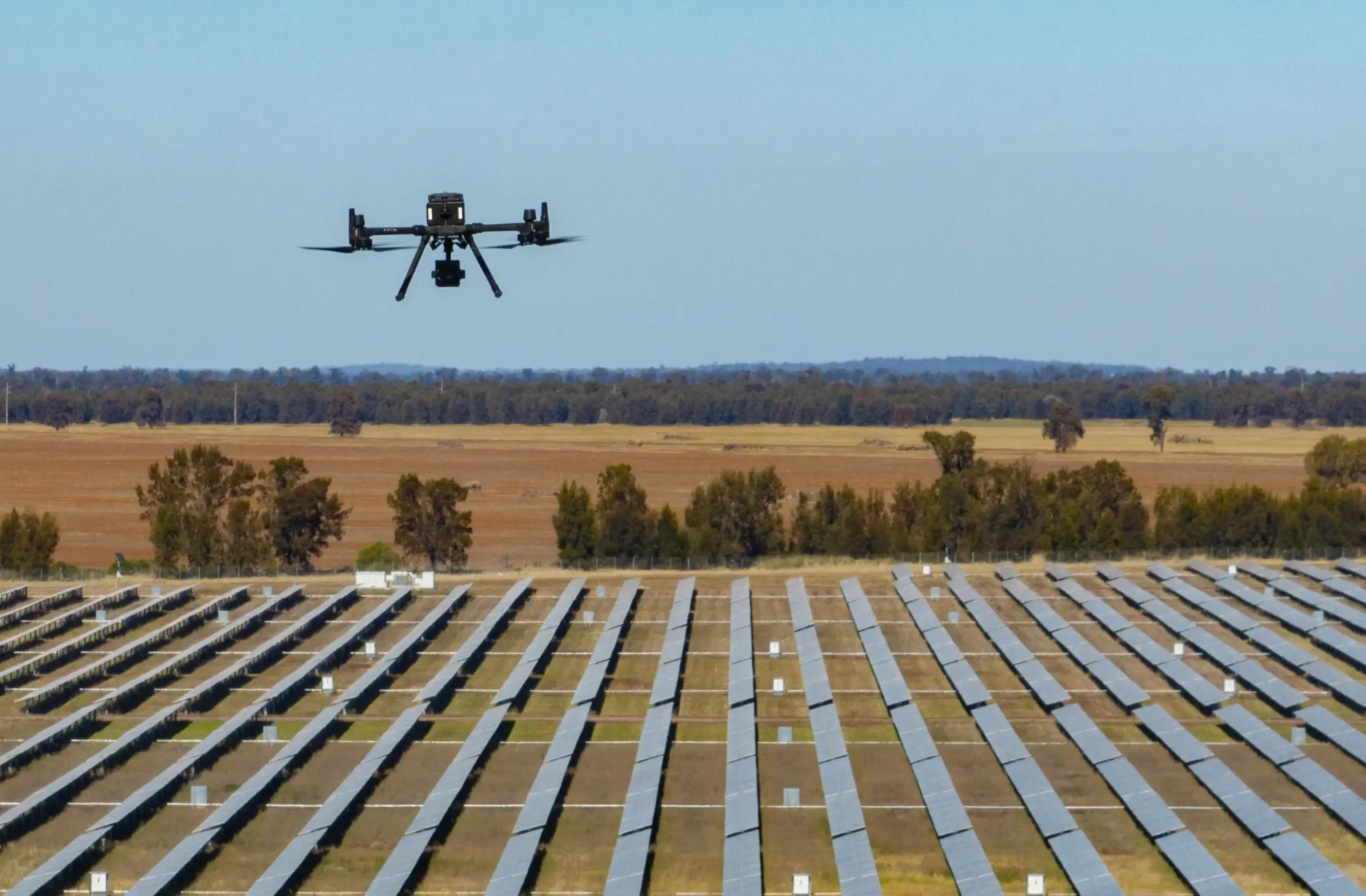
Drone surveys benefit multiple industries. In agriculture, they monitor crop health, analyze soil conditions, and optimize irrigation. Construction and real estate sectors use drones for topographic data, site planning, and property assessments.
Environmental agencies track deforestation, monitor wildlife, and assess climate change effects with drone technology. With AI-powered analytics, drone companies enhance data processing, making survey results easier to interpret and apply.
Conclusion
Drone technology has transformed land mapping by offering a faster, more precise, and cost-effective alternative to traditional methods. With their ability to capture high-resolution imagery and detailed topographic data, drones provide surveyors with unparalleled accuracy and efficiency. The growing demand for drone services reflects the need for innovative solutions that optimize land mapping processes across various industries.
For businesses seeking reliable and professional drone surveying solutions, High Exposure is a trusted provider offering state-of-the-art drone technology for land mapping, asset inspections, and property surveys. With a team of skilled drone operators and cutting-edge equipment, High Exposure ensures accurate and efficient data collection to support informed decision-making.