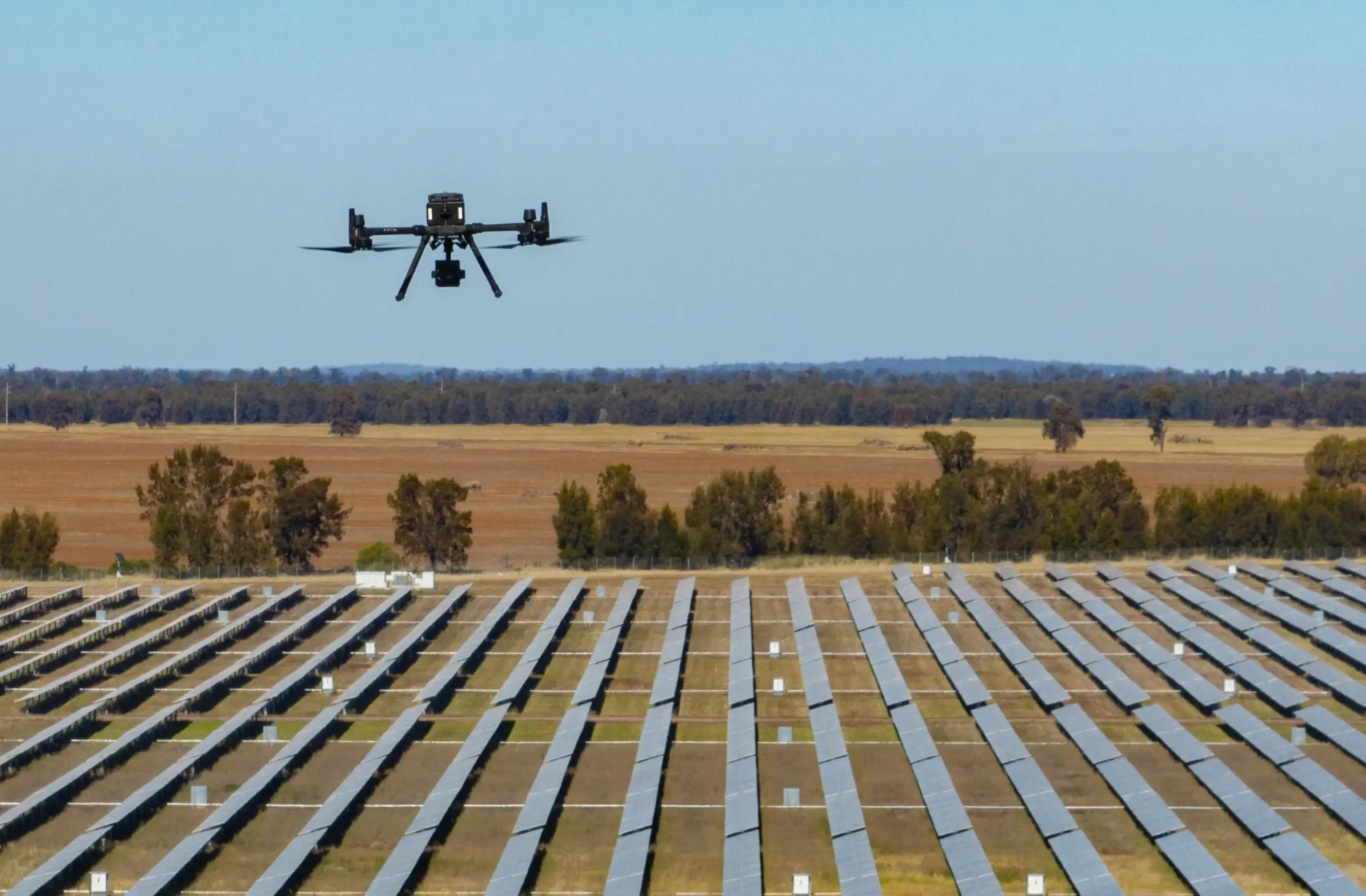
How Drone Surveys Improve Accuracy and Speed in Land Mapping
Land mapping has traditionally been a time-consuming and resource-intensive process, requiring manual measurements and aerial data collection through expensive aircraft or satellites. With the advent of drone technology, surveyors now have access to a faster,…